Twelve North Charleston areas, from Park Circle and Liberty Hill to Northwoods and Wescott: zoned high school, commute and August 2026 home value.
Last checked Oct. 12, 2026. Sources: the City of North Charleston’s PRIME North Charleston comprehensive plan and neighborhood presidents list, OpenStreetMap, Charleston County School District’s school lookup tool, Dorchester County’s attendance zone lookup, the South Carolina school report cards, the U.S. Census Bureau and Zillow Research.
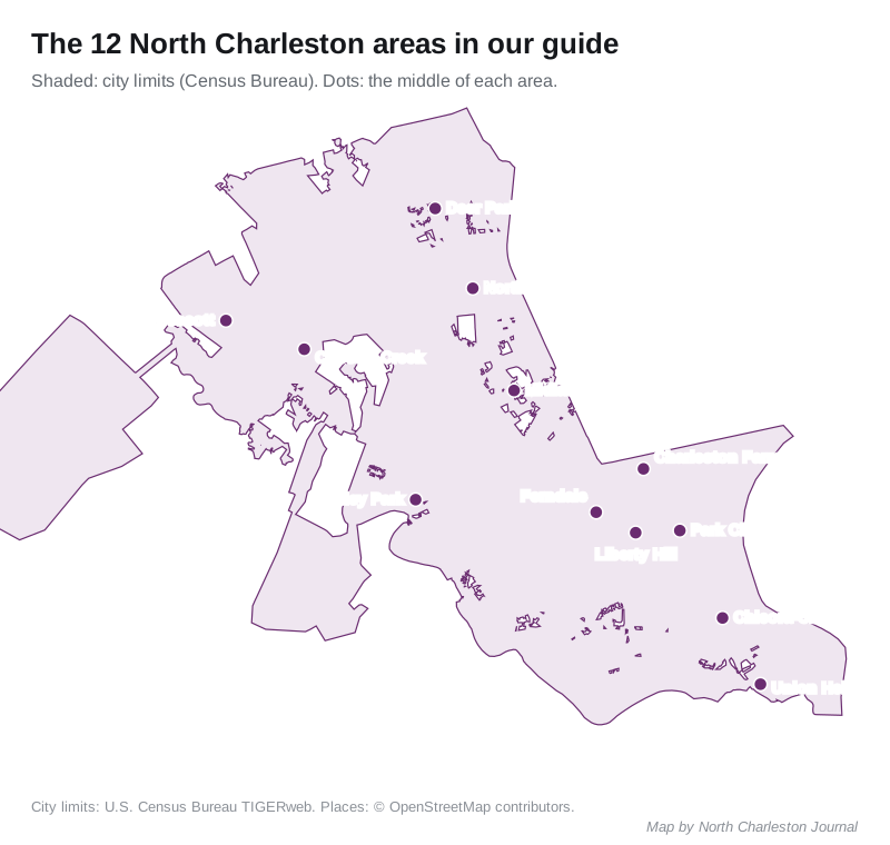
North Charleston has about 119,913 residents, according to the Census Bureau’s 2020-2024 American Community Survey on its QuickFacts page. The city says on its neighborhoods page that it is made up of more than 50 neighborhoods, each with a neighborhood president. This guide groups the city into 12 areas that the city’s plan, its neighborhood list or OpenStreetMap names and places, and gives each one its schools, home values, parks and commute.
What this means for you
- The county decides the school district: the Charleston County part of the city is served by Charleston County School District; the Dorchester County part by Dorchester School District Two. Check every address with the CCSD lookup or the Dorchester County lookup.
- City limits are patchy: several areas below have pockets outside the city. Check a parcel on Charleston County’s GIS Parcel Viewer.
- Home values by ZIP code: from $295,123 in 29406 to $369,194 in 29485 in August 2026, according to the Zillow Home Value Index.
How the city is laid out
- Interstate 26 runs northwest to southeast through the middle of the city, and Interstate 526 crosses it east to west. Rivers Avenue (U.S. 52 and U.S. 78) and Dorchester Road are the main surface roads. More in our getting around guide.
- Charleston International Airport and Joint Base Charleston take up much of the middle of the city, so neighborhoods sit around their edges.
- Four planning areas: the city’s comprehensive plan (PDF) splits the city into the old core around Park Circle and Rivers Avenue; the airport, base and Centre Point commercial area; the suburban Dorchester County side, including Wescott and Coosaw Creek; and the northeast, built up along Rivers Avenue in the 1970s and 1980s.
- Three counties: most of the city is in Charleston County, the western part in Dorchester County and a small part in Berkeley County. Each county bills its own property tax; see our property tax guide.
- School zones do not follow city limits or neighborhood names, and the same street can be split between schools.
The areas at a glance
| Area | ZIP code | Zoned high school | Home value, ZIP, Aug. 2026 | Page |
|---|---|---|---|---|
| Park Circle | 29405 | North Charleston High | $312,776 | Park Circle |
| Liberty Hill | 29405 | North Charleston High | $312,776 | Liberty Hill |
| Chicora-Cherokee | 29405 | North Charleston High | $312,776 | Chicora-Cherokee |
| Union Heights | 29405 | North Charleston High | $312,776 | Union Heights |
| Charleston Farms | 29406 | North Charleston High | $295,123 | Charleston Farms |
| Ferndale | 29406 | North Charleston High | $295,123 | Ferndale |
| Midland Park | 29406 | R.B. Stall High | $295,123 | Midland Park |
| Northwoods | 29406 | R.B. Stall High | $295,123 | Northwoods |
| Deer Park | 29406 | R.B. Stall High | $295,123 | Deer Park |
| Hunley Park | 29418 | R.B. Stall High | $298,473 | Hunley Park |
| Wescott | 29485 | Fort Dorchester High | $369,194 | Wescott |
| Coosaw Creek | 29420 | Fort Dorchester High | $336,099 | Coosaw Creek |
The ZIP code is the one most of each area falls in; Northwoods also takes in part of 29420 ($336,099), and most of Hunley Park is in Census ZIP code area 29404, for which Zillow publishes no index. The zoned high school is the one most of the points we checked were assigned to. On the state’s 2025 report cards, North Charleston High and R.B. Stall High were rated Below Average and Fort Dorchester High Excellent. The home value is the Zillow Home Value Index for the ZIP code, a modeled typical value for the middle third of homes, not a sale price. Zillow’s figure for the city as a whole was $310,134, down 1.4% from August 2025. More in our home prices guide and schools guide.
The areas
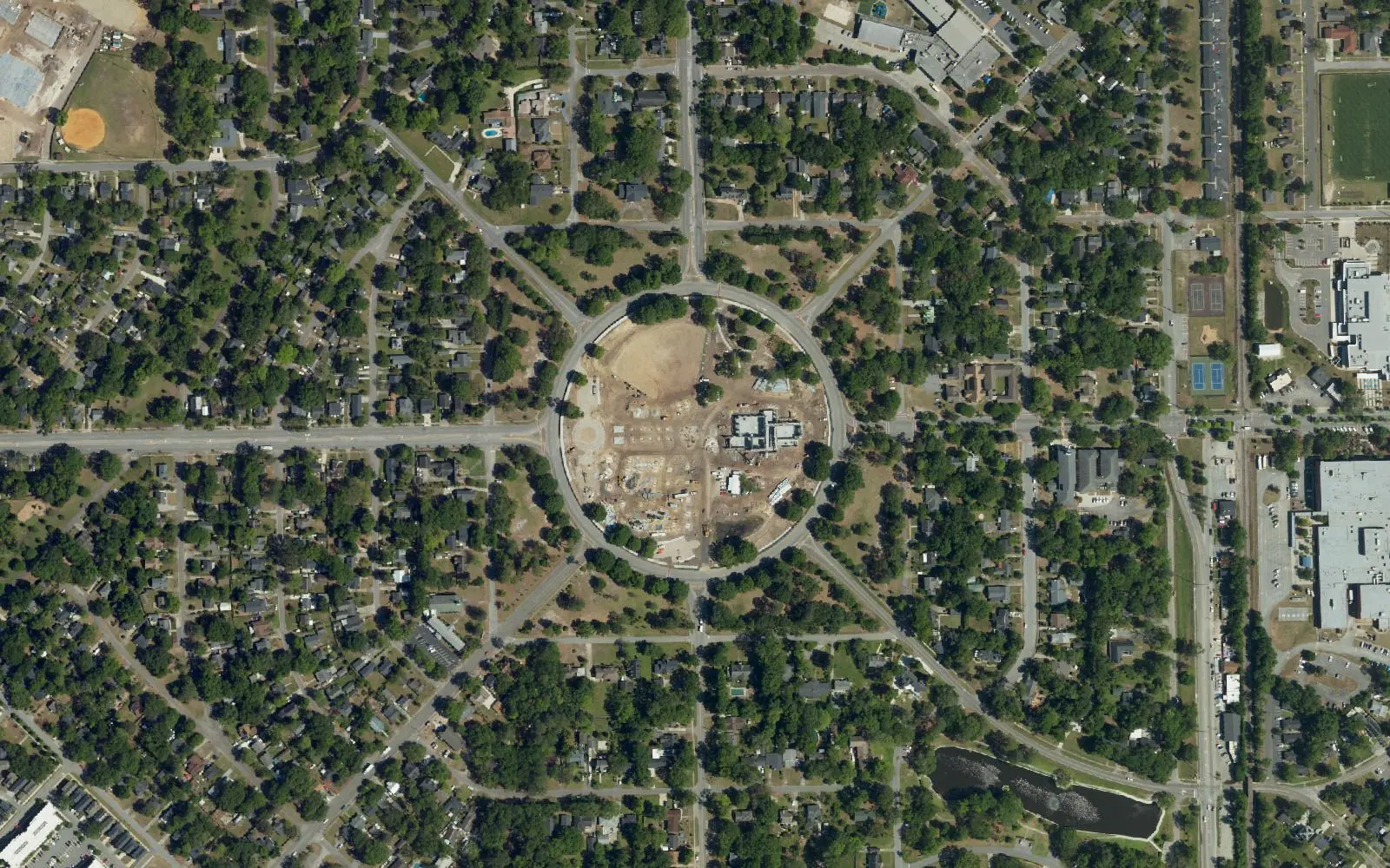
Park Circle. The 1915 garden-city neighborhood built around a round park, with the Olde Village on East Montague Avenue and a historic district overlay that adds design review for changes to older homes.
Liberty Hill. North Charleston’s oldest neighborhood, founded in the 1870s, just east of Rivers Avenue, with Oak Terrace Preserve to its north.
Chicora-Cherokee. Chicora Place, Cherokee Place and Charleston Heights, built between 1903 and 1930 as the Navy base grew, next to the North Charleston SuperStop bus hub.
Union Heights. A neighborhood at the south end of the city between I-26 and the rail lines, with part of the area outside the city limits.
Charleston Farms. Streets along Remount Road next to Hanahan, with three supermarkets within a mile.
Ferndale. Ferndale, Russelldale, Liberty Park and Highland Terrace, built in the 1940s for Navy base service members, west of Rivers Avenue at I-526.
Midland Park. A neighborhood west of I-26 across from Trident Technical College, about 71% inside the city limits.
Northwoods. The 1970s and 1980s suburbs around Northwoods Mall, on both sides of I-26.
Deer Park. A neighborhood off University Boulevard near Charleston Southern University and Wannamaker County Park, about a mile from I-26 Exit 205.
Hunley Park. Hunley Park, Riverbend and Lambs, off Dorchester Road between Joint Base Charleston and the Ashley River.
Wescott. Wescott Plantation, the largest development on the Dorchester County side, with Wescott Park and Dorchester School District Two schools.
Coosaw Creek. A golf course community in Dorchester County, near the North Charleston Aquatic Center and Fort Dorchester High.
Areas we left out
- Accabee, Dorchester Terrace, Whipper Barony and Waylyn, older neighborhoods on the south side that the plan and the city’s neighborhood list name, are not covered separately.
- Pepperhill, the Elms and Colony North in the northern part of the city, and Kings Grant, Indigo Fields and Whitehall in Dorchester County, are named in the plan or the neighborhood list; we fold some into the nearest area page.
- The former Navy base is mostly offices, industry and port land; Riverfront Park and the restored officers’ homes are in our parks and trails guide and history and landmarks guide.
- Ladson is a separate Census-designated place, not part of the city; see your town, county and neighbors.
- Single subdivisions that OpenStreetMap names, more than 100 in and around the city, are not covered separately.
How we built this
- Areas: the land use and cultural resources chapters of the city’s 2020 PRIME North Charleston comprehensive plan, the city’s neighborhood presidents list, and neighborhood and place names mapped on OpenStreetMap. The city publishes no neighborhood boundaries, so each area is a circle of a quarter mile to 0.6 mile around the places those sources name. We found no city or county homeowners association registry.
- City limits and ZIP codes: the Census Bureau’s current city boundary and ZIP Code Tabulation Areas, from TIGERweb.
- Schools: we tested between 29 and 177 points in each area against Charleston County School District’s attendance boundaries (elementary zones for 2026-27) or Dorchester County’s 2026 attendance zones, and took ratings from the state’s 2025 report cards.
- Distances: measured on the OpenStreetMap road network; they are distances, not drive times. Exit numbers are as mapped on OpenStreetMap. Bus routes are from CARTA’s schedule data.
- Home values: the Zillow Home Value Index, August 2026.
- Map: city limits from the U.S. Census Bureau’s TIGERweb; places © OpenStreetMap contributors.
Comparing whole cities? See North Charleston vs Hanahan vs Goose Creek vs Charleston. New in town? Our moving to North Charleston guide has the checklist.
Frequently asked questions
What are the neighborhoods in North Charleston?
The city says it has more than 50 neighborhoods. Our guide covers 12 areas: Park Circle, Liberty Hill, Chicora-Cherokee, Union Heights, Charleston Farms, Ferndale, Midland Park, Northwoods, Deer Park, Hunley Park, Wescott and Coosaw Creek, each with its own page on schools, home values, parks and commute.
What school district is North Charleston in?
It depends on the county. Most of the city is in Charleston County and served by Charleston County School District; the Dorchester County part, including Wescott and Coosaw Creek, is served by Dorchester School District Two. Check every address with the district’s lookup.
What ZIP codes are in North Charleston?
The main North Charleston ZIP codes are 29405, 29406, 29418 and 29420, with parts of 29404, 29456 and 29485. In August 2026 the Zillow Home Value Index ranged from $295,123 in 29406 to $369,194 in 29485.
What is the oldest neighborhood in North Charleston?
Liberty Hill, founded in the 1870s, according to the city’s comprehensive plan. Park Circle, laid out in 1915, was the planned town where the modern city began.
Have your say