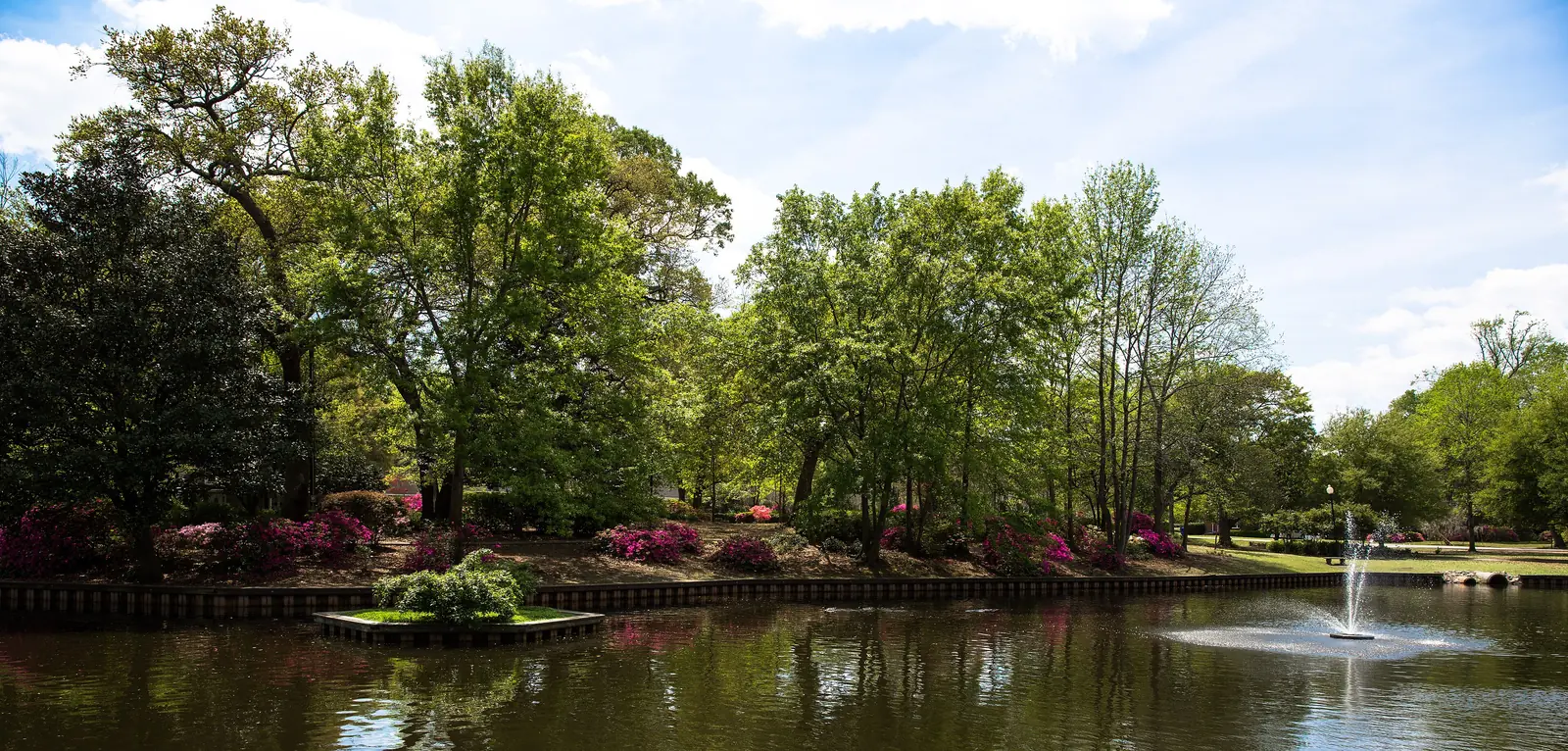
Park Circle is North Charleston's 1915 garden-city neighborhood in ZIP code 29405, zoned for North Charleston High, with a historic district overlay.
Last checked Oct. 12, 2026. Sources: the City of North Charleston’s PRIME North Charleston comprehensive plan, Charleston County School District’s school lookup tool, the South Carolina school report cards, CARTA, OpenStreetMap and Zillow Research.
Park Circle is the planned town where North Charleston began. In 1915 it was laid out as a “concentric Garden City style development” around an open space in the center, and homes in parts of it were built between 1915 and 1940, according to the land use chapter of the city’s comprehensive plan (PDF). The plan says the neighborhood reaches about half a mile in every direction from the circle. For restaurants, shops and festivals on East Montague Avenue, see our Park Circle guide; this page covers living there.
What this means for you
- Zoned high school: North Charleston High, rated Below Average on the 2025 state report card, for every point we checked. Check an address with the district’s school lookup tool.
- Home value: $312,776 in ZIP code 29405 in August 2026, according to the Zillow Home Value Index.
- Nearest interstate exit: I-526 Exit 20, Virginia Avenue, about 2.1 miles by road.
Part of our North Charleston neighborhoods guide.
Where it is
The circle itself is at 4800 Park Circle, with streets running out from it like spokes. East Montague Avenue runs west from the circle to the Olde Village business district, which the plan puts half a mile from the center of the circle. Rivers Avenue and the railroad lie to the west and North Rhett Avenue to the east. All of the 121 points we checked within half a mile of the circle were inside the city limits, in ZIP code 29405 and in Charleston County.
The city adopted the Olde North Charleston Neighborhood Historic District overlay in 2008. It covers properties built between 1900 and 1945 and requires extra design review for new buildings and for changes to existing ones, with rules on bulk, setbacks and materials. A Neighborhood Conservation District next to it applies similar review, according to the plan’s cultural and historic resources chapter (PDF). Check the city’s online zoning map before planning work on a house, and see our permits and zoning guide.
Schools
We checked 121 points against Charleston County School District’s attendance boundaries, as published in its school lookup tool (elementary zones for 2026-27).
| Level | School | Share of points | 2025 state rating |
|---|---|---|---|
| Elementary | North Charleston Elementary, 4921 Durant Ave. | 59% | Good |
| Elementary | Hursey Montessori (K-5) or North Charleston Elementary | 40% | Average (Hursey) |
| Middle | Morningside Middle | 100% | Below Average |
| High | North Charleston High, 1087 E. Montague Ave. | 100% | Below Average |
On the east side of the area the district’s map lists both Hursey Montessori and North Charleston Elementary for the same streets. A few points at the western edge were zoned for North Charleston Creative Arts Elementary. North Charleston High’s 2025 graduation rate was 79.1%. Ratings are the overall ratings on the state’s 2025 report cards. Magnet and charter schools take students from across the county; see our schools guide.
Home values
The Zillow Home Value Index for ZIP code 29405 was $312,776 in August 2026, down 2.2% from $319,669 in August 2025. Zillow’s figure for North Charleston as a whole was $310,134. The index is a modeled typical value for the middle third of homes, not a sale price, and the ZIP code also covers areas outside Park Circle. More in our home prices guide.
Parks and trails
From the city’s parks and facilities list:
- Park Circle, 4800 Park Circle: the inclusive playground, an inclusive turf baseball field, a pavilion and the Park Circle Community Building. Details in our parks and trails guide.
- Quarterman Park, 2001 Robertson Blvd.: the pond known as the Duck Pond, used for fishing and bird watching.
- J.V. Morris, 4824 North Blvd.: tennis courts and a playground.
- Exchange Park, 2025 Lackawanna Blvd., at the western edge: a baseball field and the Mixson Dog Park.
Getting around
- Interstates: I-526 Exit 20, Virginia Avenue, about 2.1 miles; I-26 Exit 213, Montague Avenue, about 2.3 miles; I-526 Exit 19, North Rhett Avenue, about 2.6 miles. Exit numbers are as mapped on OpenStreetMap.
- City Hall, 2500 City Hall Lane: about 2.2 miles.
- Charleston International Airport: about 4.4 miles.
- Bus: CARTA Route 104, Montague Avenue, stops along East Montague Avenue, and Route 13, Remount Road, stops on East Montague, at the circle and on North Rhett Avenue, according to CARTA’s schedule data.
Distances are measured on the OpenStreetMap road network from the circle; they are distances, not drive times. More in our getting around guide.
Groceries and everyday stores
From OpenStreetMap, measured in a straight line from the circle:
- Pharmacies: CVS, 1506 E. Montague Ave., about half a mile; Park Circle Pharmacy, about half a mile.
- Supermarkets: the nearest are on Remount Road and Rivers Avenue, including Food Lion, 1213 Remount Road, about 1.4 miles.
- Shops and restaurants: the Olde Village on East Montague Avenue; see our Park Circle guide.
Neighborhood association
The city’s neighborhood presidents list includes an Olde North Charleston association that meets at the Park Circle Community Building. We found no homeowners association for the area in the city’s list.
Frequently asked questions
What high school is Park Circle zoned for?
Every point we checked in Park Circle was zoned for North Charleston High School in Charleston County School District’s attendance boundaries. The school was rated Below Average on its 2025 state report card, with a 79.1% graduation rate.
Is Park Circle a historic district?
Part of it is. The city adopted the Olde North Charleston Neighborhood Historic District overlay in 2008, which adds design review for new buildings and changes to existing ones, and a conservation district next to it, according to the city’s comprehensive plan.
What is the typical home value in Park Circle?
Zillow does not publish a figure for Park Circle alone. The Zillow Home Value Index for ZIP code 29405 was $312,776 in August 2026, down 2.2% from a year earlier.
What ZIP code is Park Circle in?
Park Circle is in ZIP code 29405, in Charleston County.
Have your say