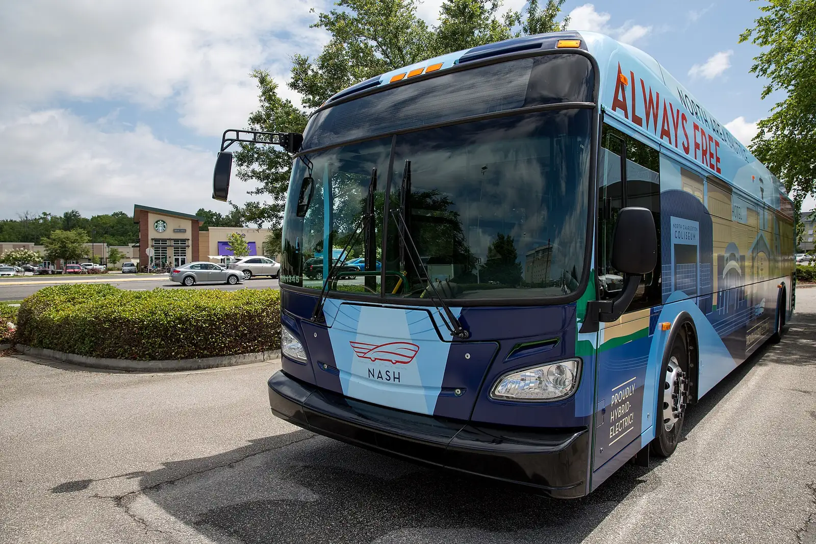
North Charleston is on I-26 and I-526 with Charleston International Airport inside the city. CARTA buses run on Rivers Avenue, Dorchester Road and more.
Last checked Oct. 12, 2026. Facts on this page come from the City of North Charleston’s getting around page, CARTA and Charleston International Airport.
North Charleston sits where Interstate 26 meets Interstate 526, with the region’s airport, its Amtrak station and its main bus corridors inside the city limits. Most people get around by car, but CARTA buses cover the main roads.
Who to call
- Live traffic and closures: dial 511 or 511sc.org
- CARTA trip planner: plan your trip
- Charleston International Airport: 843-767-7000, 5500 International Blvd.
- City streets and signals: North Charleston Public Works, 843-745-1026
Main roads
- I-26 is the main route through the city. Its North Charleston exits include 205 (U.S. 78 and U.S. 52), 206 (Weber Boulevard), 209 (Ashley Phosphate Road), 211A (Aviation Avenue), 211B (Remount Road), 212 (I-526), 213 (Montague Avenue and Tanger Outlet Boulevard), 215 (Dorchester Road) and 216 (Cosgrove Avenue).
- I-526 crosses the city between West Ashley and Mount Pleasant.
- Rivers Avenue (U.S. 52) and Dorchester Road run parallel to I-26, the city says, with Ladson Road, Ashley Phosphate Road and Montague Avenue the other main routes.
The city warns that rush hours slow traffic toward Charleston in the morning and away from it in the afternoon. Big projects ahead, including the I-526 widening and Rivers Avenue rapid transit, are in our road construction and closures guide.
Buses: CARTA
The Charleston Area Regional Transportation Authority (CARTA) runs the region’s buses. Routes serving North Charleston, from CARTA’s maps and schedules page:
| Route | Name |
|---|---|
| 10 | Rivers Avenue |
| 103 | Leeds Avenue |
| 104 | Montague Avenue |
| 11 | Dorchester Road / Airport |
| 12 | Upper Dorchester / Ashley Phosphate Road |
| 13 | Remount Road |
| XP1 | James Island-North Charleston express |
| XP3 | Dorchester Road / Summerville express |
Route 10 serves the Amtrak station and runs into downtown Charleston one way and to Charleston Southern University the other, the city says. Fares and passes are on CARTA’s fares page. Lowcountry Rapid Transit, a bus rapid transit line along Rivers Avenue, is expected to start construction in 2027.
Flying: Charleston International Airport
Charleston International Airport (CHS) is at 5500 International Blvd., in the heart of North Charleston near the I-26 and I-526 interchange. The city says:
- five national rental car companies operate next to the terminal
- taxis and shuttles run from 5 a.m. until 30 minutes after the last arriving flight, from in front of baggage claim, and North Charleston regulates and permits all taxis
- CARTA Route 11 stops near the passenger pickup area and the rental car lot
Parking and ground transportation details are on the airport’s parking page and ground transportation page.
Trains and intercity buses
The Charleston Amtrak station and Southeastern Stages are at 4565 Gaynor Ave., the city says, served by CARTA Route 10.
Biking and walking
- Wannamaker County Park, 8888 University Blvd., has miles of paved and natural trails and rents bikes.
- Riverfront Park has paths along the Cooper River and the Noisette Creek pedestrian bridge.
- Wescott Park, 9006 Dorchester Road, has a walking trail.
More in our parks and trails guide.
Parking
The city’s website lists no parking meters, parking decks or downtown parking time limits. For large events, the city posts parking details with each event; for the Fourth of July festival at Riverfront Park, for example, parking was free with entry from Virginia Avenue and the Bainbridge and Cosgrove connectors. At the Coliseum and Performing Arts Center, see the venue’s directions and parking page.
What this means for you
- Avoid I-26 toward Charleston at morning rush when you can.
- Route 11 is the bus to the airport; Route 10 is the Rivers Avenue workhorse.
- Check 511 before any trip on I-26 or I-526.
Related guides: moving to North Charleston and who to call at City Hall.
Frequently asked questions
Is Charleston International Airport in North Charleston?
Yes. Charleston International Airport (CHS), 5500 International Blvd., is in North Charleston near where I-26 and I-526 meet. The airport’s number is 843-767-7000.
What bus goes to the Charleston airport?
CARTA Route 11, Dorchester Road/Airport, serves the airport, with a stop near the passenger pickup area and the rental car lot. It also serves hotels, Tanger Outlets and the North Charleston Coliseum, the city says.
Where is the Amtrak station in North Charleston?
The Charleston Amtrak station is at 4565 Gaynor Ave. in North Charleston, the city says. CARTA Route 10, Rivers Avenue, serves it.
What CARTA routes serve North Charleston?
CARTA routes include 10 Rivers Avenue, 103 Leeds Avenue, 104 Montague Avenue, 11 Dorchester Road/Airport, 12 Upper Dorchester/Ashley Phosphate Road and 13 Remount Road, plus express routes XP1 James Island-North Charleston and XP3 Dorchester Road/Summerville.
Have your say