Coastal flood advisory 7 a.m. to noon Tuesday, Oct. 27, harbor tide near 7.7 feet. I-526 east right lane closed near Mount Pleasant through Nov. 1. Dial 511.
Last checked Oct. 27, 2026. Updated weekly. Sources: the South Carolina Department of Transportation (SCDOT) and its road conditions list, SC 511, the National Weather Service in Charleston, the NOAA Charleston Harbor tide gauge, the I-526 Lowcountry Corridor project, Lowcountry Rapid Transit, Charleston County Roads and the City of North Charleston.
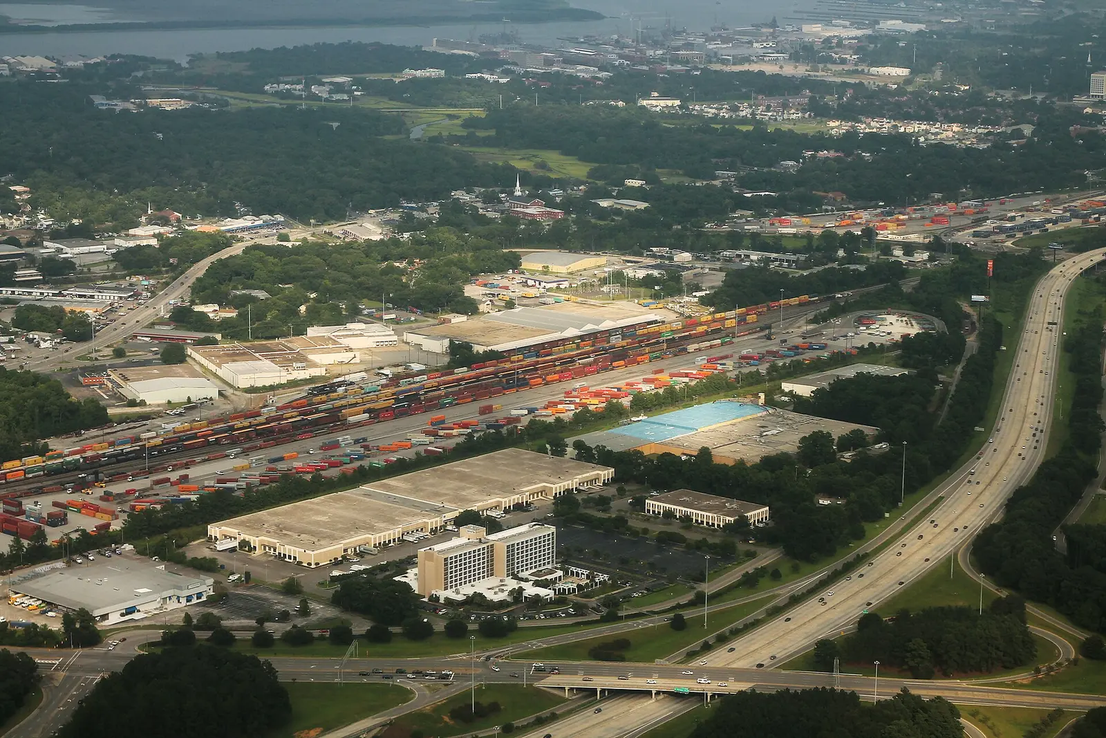
The two biggest road projects in North Charleston are still ahead of the bulldozers: the rebuild of the I-26 and I-526 interchange with the widening of I-526, and the Lowcountry Rapid Transit bus line on Rivers Avenue. Interstates and numbered state and U.S. routes, including Rivers Avenue (U.S. 52) and Dorchester Road (S.C. 642), are SCDOT roads. The city maintains its own streets.
Who to call
- Live traffic, closures and crashes on interstates and state routes: dial 511, or 511sc.org
- State roads, potholes, signals: SCDOT customer service, 855-467-2368 (855-GO-SCDOT)
- City streets, drainage, signs: North Charleston Public Works, 843-745-1026, or submit a request online
- County road projects: Charleston County Public Works, 843-202-7600
- I-526 project hotline (call or text): 843-258-1135, info@526LowcountryCorridor.com
- Crash or hazard in the road: 911
This week
Coastal flood advisory Tuesday morning. The National Weather Service in Charleston issued a coastal flood advisory at 9:26 p.m. Monday, Oct. 26, for 7 a.m. to noon Tuesday, Oct. 27, in Charleston County. It warns of up to one foot of saltwater flooding along shorelines and tidal waterways, with the harbor at 7.6 to 7.8 feet, and says “some roads” will become impassable. High tide is about 9:06 a.m. Tuesday, and flooding is possible one to two hours either side of it. NOAA’s forecast for the Charleston Harbor tide gauge peaks at 7.7 feet about 9 a.m., above the gauge’s moderate flood stage of 7.5 feet. Monday morning’s tide reached 7.73 feet, short of the 8 feet forecast for it. NOAA’s forecast also shows 7.6 feet on Wednesday and Thursday mornings, so more advisories are possible. Tidal flooding can cover low streets near the Cooper and Ashley rivers and their creeks. Do not drive around barricades or through water on a road. Report a flooded city street to North Charleston Public Works, 843-745-1026.
No state work zones in the city. SCDOT’s road conditions list showed no construction or lane closures inside North Charleston on Oct. 27, and Charleston County’s projects under construction list has no project inside the city. The city’s own news page had no road or street closure notice. Crash closures on I-26, I-526, Rivers Avenue and Dorchester Road come and go during the day; 511 shows them live.
Nearby closures in the next two weeks, from SCDOT’s road conditions list:
- I-526 eastbound in Mount Pleasant: right lane closed between mile markers 26 and 28, west of the Long Point Road exit, through Sunday, Nov. 1, for concrete joint cutting and sealing.
- James Island Connector (S.C. 30) in Charleston: closed in both directions from Lockwood Drive to Folly Road, 6 to 11:30 a.m. Saturday, Oct. 31, for the annual James Island Connector Run.
- Ashley River bridges (U.S. 17) in Charleston: right-lane closures for bridge inspections starting at 10 p.m. on Nov. 2 and Nov. 3 on the Ashley River Bridge, and 10 p.m. to 6 a.m. on Nov. 3, 4 and 5 on the old Ashley River bridge.
Farther up I-26. SCDOT opened a third lane in each direction on I-26 between mile markers 187 and 194 in Berkeley County on Sept. 23. Its release said the work would be done before the end of October. SCDOT’s road conditions list showed no lane closures there on Oct. 27.
This section is rewritten every week from SCDOT, 511, National Weather Service, NOAA, county and city notices.
I-526 Lowcountry Corridor WEST
SCDOT’s roadway improvements page says the interstate work is expected to be built from 2029 to 2039. The plan:
- I-526 widened from two to four lanes in each direction between Paul Cantrell Boulevard in West Ashley and North Rhett Avenue in North Charleston.
- The I-26 and I-526 interchange rebuilt. Tight, low-speed ramps are replaced with long, sweeping ramps, with collector-distributor roads on all four legs to end the weaving.
- New ramps at Virginia Avenue and North Rhett Avenue, replacing the loop ramps that back up today.
- Noise barriers along the bridges next to the Liberty Park and Russelldale neighborhoods.
SCDOT is already working with households whose homes are in the way, through its impacted household assistance program. The project office is at 5605A Rivers Ave., on CARTA Route 10, open 10 a.m. to 5 p.m. weekdays, with appointments at other times. Detailed maps for each section, including Virginia Avenue to Rivers Avenue (PDF) and Rivers Avenue to International Boulevard (PDF), are on the project site.
Lowcountry Rapid Transit on Rivers Avenue
Lowcountry Rapid Transit is a bus rapid transit line that will run mostly in its own lanes between North Charleston and Charleston, led by the Berkeley-Charleston-Dorchester Council of Governments with SCDOT. Its August 2026 project update says the design is finished and construction is anticipated to begin in 2027, with the first construction contracts advertised in early 2027. The project team says it will brief businesses and neighborhoods along the corridor before work starts. The final design maps are in the project’s online meeting.
Main roads to watch
- I-26, the main route through the city. Its North Charleston exits run from 205 (U.S. 78 and U.S. 52 toward Goose Creek and Ladson) through 206 (Weber Boulevard), 209 (Ashley Phosphate Road), 211A (Aviation Avenue), 211B (Remount Road), 212 (I-526), 213 (Montague Avenue and Tanger Outlet Boulevard), 215 (Dorchester Road) and 216 (Cosgrove Avenue).
- I-526, from West Ashley across North Charleston to Mount Pleasant.
- Rivers Avenue (U.S. 52), the future rapid transit corridor.
- Dorchester Road, Ashley Phosphate Road and Ladson Road, the busy east-west routes in the north of the city.
How to stay ahead
- 511: dial 511 or download the 511SC app for closures, crashes and cameras.
- SCDOT public meetings: notices for state projects are posted on SCDOT’s public comment and meeting page.
- I-526 updates: comments sent through the project site automatically sign you up for updates.
What this means for you
- Watch for tidal flooding on low streets from about 7 to 11 a.m. Tuesday, Oct. 27, around the 9:06 a.m. high tide.
- No construction zone is open in the city this week; crashes cause most closures.
- Heading to Mount Pleasant on I-526 east? Expect one lane closed near Long Point Road through Nov. 1.
- I-526 and I-26 interchange work is years away, but homes and businesses in its path are being contacted now.
- Rivers Avenue will see rapid transit construction from 2027.
Related guides: getting around North Charleston and who to call at City Hall.
Frequently asked questions
When will I-526 be widened in North Charleston?
SCDOT expects to build the I-526 Lowcountry Corridor WEST improvements from 2029 to 2039. I-526 will gain two lanes in each direction between Paul Cantrell Boulevard and North Rhett Avenue, and the I-26 interchange will be rebuilt.
When does Lowcountry Rapid Transit construction start on Rivers Avenue?
The Berkeley-Charleston-Dorchester Council of Governments says construction is expected to begin in 2027, with the first construction contracts advertised in early 2027.
How do I check traffic and road closures in North Charleston?
Dial 511 or use 511sc.org for interstates and state routes. For city streets, call North Charleston Public Works at 843-745-1026.
Who do I call about a pothole in North Charleston?
City streets: North Charleston Public Works, 843-745-1026, or the city’s online request form. State roads such as Rivers Avenue and Dorchester Road: SCDOT at 855-467-2368.
Have your say