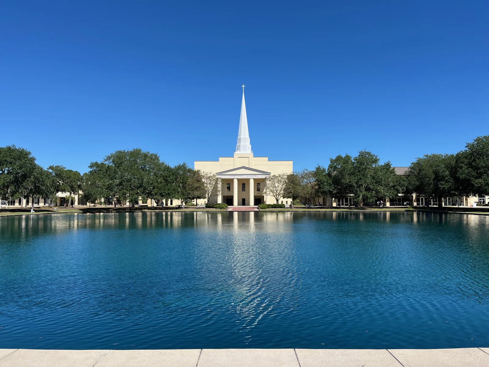
Deer Park is a neighborhood off University Boulevard near Charleston Southern and Wannamaker County Park, in ZIP code 29406, zoned for Stall High.
Last checked Oct. 12, 2026. Sources: the City of North Charleston’s PRIME North Charleston comprehensive plan and neighborhood presidents list, Charleston County School District’s school lookup tool, the South Carolina school report cards, the U.S. Census Bureau, CARTA, OpenStreetMap and Zillow Research.
Deer Park is a neighborhood at the north end of North Charleston, off University Boulevard (U.S. 78) near the Interstate 26 interchange. The land use chapter of the city’s comprehensive plan (PDF) lists Deer Park among the neighborhoods developed along Rivers Avenue in the 1970s and 1980s, in the same planning area as Trident Medical Center, Charleston Southern University and Wannamaker County Park.
What this means for you
- Zoned high school: R.B. Stall High, rated Below Average on the 2025 state report card, for every point we checked inside the city. Check an address with the district’s school lookup tool.
- Home value: $295,123 in ZIP code 29406 in August 2026, according to the Zillow Home Value Index.
- Nearest interstate exit: I-26 Exit 205, U.S. 78 (University Boulevard), about 1 mile by road.
Part of our North Charleston neighborhoods guide.
Where it is
OpenStreetMap places Deer Park just off University Boulevard, with Charleston Southern University, 9200 University Blvd., less than a mile to the north and Wannamaker County Park about a mile away. The city publishes no boundary, so we used a circle of 0.4 mile around OpenStreetMap’s point. Of the 69 points we checked, 94% were inside North Charleston’s city limits on the Census Bureau’s current boundary. All of those were in ZIP code 29406 and in Charleston County.
The city’s neighborhood presidents list includes a Deer Park association that meets at Deer Park Baptist Church.
Schools
We checked the 65 points inside the city against Charleston County School District’s attendance boundaries in its school lookup tool (elementary zones for 2026-27).
| Level | School | Share of points | 2025 state rating |
|---|---|---|---|
| Elementary | A.C. Corcoran Elementary, 8585 Vistavia Road | 100% | Below Average |
| Middle | Northwoods Middle, 7763 Northside Drive | 100% | Below Average |
| High | R.B. Stall High, 3625 Ashley Phosphate Road | 100% | Below Average |
Despite its name, Deer Park Middle, 2263 Otranto Road, rated Average, was not the zoned middle school for any point we checked. Stall’s 2025 graduation rate was 77.8%. Ratings are the overall ratings on the state’s 2025 report cards. More in our schools guide.
Home values
The Zillow Home Value Index for ZIP code 29406 was $295,123 in August 2026, down 1.3% from $298,892 in August 2025. Zillow’s figure for North Charleston as a whole was $310,134. The index is a modeled typical value for the middle third of homes, not a sale price, and ZIP code 29406 covers a much larger part of the city. More in our home prices guide.
Parks
- Wannamaker County Park, 8888 University Blvd.: Charleston County’s park of more than 1,015 acres, with paved and natural trails, playgrounds, an off-leash dog park, disc golf and the seasonal Whirlin’ Waters waterpark. Entry fees apply; see our parks and trails guide.
- E.W. Myers, 8585 Vistavia Road, at A.C. Corcoran Elementary: a city playground and ball field, from the city’s parks and facilities list.
Getting around
- Interstate 26: Exit 205, U.S. 78 (University Boulevard), about 1 mile; Exit 203, College Park Road, about 2.8 miles; Exit 209, Ashley Phosphate Road and U.S. 52, about 3.8 miles. Exit numbers are as mapped on OpenStreetMap.
- City Hall, 2500 City Hall Lane: about 8.6 miles.
- Charleston International Airport: about 11.1 miles.
- Bus: CARTA Route 10, Rivers Avenue, stops along U.S. 78 at Elms Center Road, Fernwood Drive and Shadow Lane and at Trident Medical Center, according to CARTA’s schedule data.
Distances are measured on the OpenStreetMap road network from the middle of the area; they are distances, not drive times. More in our getting around guide.
Groceries and everyday stores
From OpenStreetMap, in a straight line from the middle of the area:
- Pharmacies: CVS, 8995 University Blvd., about 0.3 mile; TPC Pharmacy, about half a mile.
- Supermarket: Piggly Wiggly, 8780 Rivers Ave., about 1.4 miles.
- Shopping center: Otranto Plaza, about 1.3 miles.
Homeowners associations
We found no homeowners association for Deer Park in the city’s neighborhood presidents list, which names the neighborhood association.
Frequently asked questions
What schools serve Deer Park in North Charleston?
Every point we checked inside the city was zoned for A.C. Corcoran Elementary, Northwoods Middle and R.B. Stall High in Charleston County School District’s attendance boundaries.
What is the typical home value in Deer Park?
Zillow does not publish a figure for Deer Park. The Zillow Home Value Index for ZIP code 29406 was $295,123 in August 2026, down 1.3% from a year earlier.
How far is Deer Park from Wannamaker County Park?
OpenStreetMap places Wannamaker County Park, 8888 University Blvd., about a mile from the middle of Deer Park in a straight line.
What is the nearest I-26 exit to Deer Park?
I-26 Exit 205, U.S. 78 (University Boulevard), is about 1 mile by road from the middle of Deer Park, measured on the OpenStreetMap road network.
Have your say