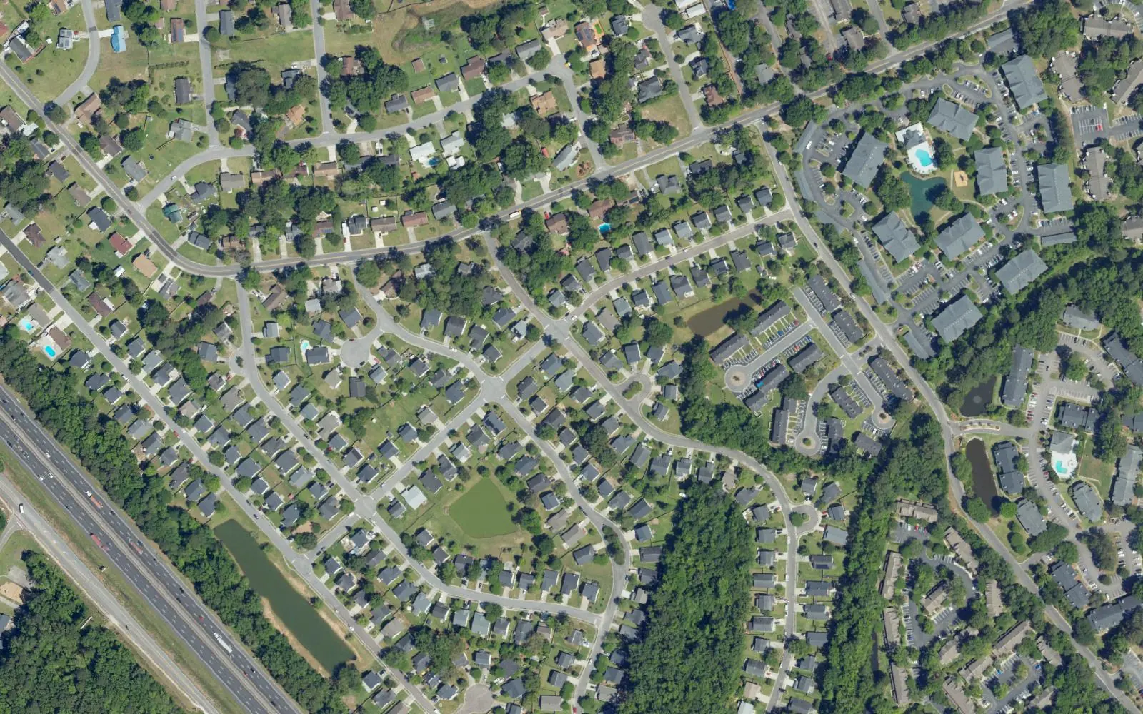
Northwoods is the 1970s and 1980s suburban area around Northwoods Mall and Ashley Phosphate Road, in ZIP codes 29406 and 29420, zoned for Stall High.
Last checked Oct. 12, 2026. Sources: the City of North Charleston’s PRIME North Charleston comprehensive plan, neighborhood presidents list and parks list, Charleston County School District’s school lookup tool, the South Carolina school report cards, CARTA, OpenStreetMap and Zillow Research.
Northwoods is the suburban area in North Charleston’s northern quadrant, around Northwoods Mall and Ashley Phosphate Road. The land use chapter of the city’s comprehensive plan (PDF) says the neighborhoods along Rivers Avenue in this part of the city were developed in the 1970s and 1980s “as people moved out of the City’s core,” and names Northwoods Estates among them, with Northwoods Mall and the retail centers on Ashley Phosphate Road and Rivers Avenue as the area’s commercial hub.
What this means for you
- Zoned high school: R.B. Stall High, rated Below Average on the 2025 state report card, for every point we checked. Check an address with the district’s school lookup tool.
- Home value: $295,123 in ZIP code 29406 and $336,099 in 29420 in August 2026, according to the Zillow Home Value Index.
- Nearest interstate exit: I-26 Exit 209, Ashley Phosphate Road and U.S. 52, about 2.5 miles by road.
Part of our North Charleston neighborhoods guide.
Where it is
OpenStreetMap places Northwood Estates east of Interstate 26 off Greenridge Road and Colony North just west of the interstate, with Northwoods Mall about two-thirds of a mile to the southeast. The city publishes no boundary, so we used a half-mile circle around the two. All 121 points we checked were inside the city limits and in Charleston County; 74% were in ZIP code 29406 and 26% in 29420.
The city’s neighborhood presidents list includes associations for Northwood Estates, which meets at Northwoods Baptist Church, Colony North, which meets on Northside Drive, and Northwoods Pointe.
Schools
We checked 121 points against Charleston County School District’s attendance boundaries in its school lookup tool (elementary zones for 2026-27).
| Level | School | Share of points | 2025 state rating |
|---|---|---|---|
| Elementary | A.C. Corcoran Elementary, 8585 Vistavia Road | 79% | Below Average |
| Elementary | Pepperhill Elementary, 3300 Creola Road | 21% | Below Average |
| Middle | Northwoods Middle, 7763 Northside Drive | 100% | Below Average |
| High | R.B. Stall High, 3625 Ashley Phosphate Road | 100% | Below Average |
Stall’s 2025 graduation rate was 77.8%. Ratings are the overall ratings on the state’s 2025 report cards. More in our schools guide.
Home values
The Zillow Home Value Index for ZIP code 29406 was $295,123 in August 2026, down 1.3% from $298,892 in August 2025. For 29420 it was $336,099, down 1.5% from $341,352. Zillow’s figure for North Charleston as a whole was $310,134. The index is a modeled typical value for the middle third of homes, not a sale price, and both ZIP codes stretch well beyond Northwoods. More in our home prices guide.
Parks
From the city’s parks and facilities list:
- Northwoods Gym and Community Center, 8348 Greenridge Road: a seasonal outdoor pool, a gym, ball fields and batting cages.
- E.W. Myers, 8585 Vistavia Road, at A.C. Corcoran Elementary: a playground and a ball field.
OpenStreetMap also maps two small parks inside Northwood Estates, Woodstock Park and Sorrell Park. More in our parks and trails guide.
Getting around
- Interstate 26: Exit 209, Ashley Phosphate Road and U.S. 52, about 2.5 miles; Exit 205, U.S. 78 (University Boulevard), about 3.9 miles. Exit numbers are as mapped on OpenStreetMap.
- City Hall, 2500 City Hall Lane: about 7.2 miles.
- Charleston International Airport: about 8.7 miles.
- Bus: CARTA Route 10, Rivers Avenue, and Route 12, Upper Dorchester and Ashley Phosphate Road, stop on Greenridge Road, according to CARTA’s schedule data.
Distances are measured on the OpenStreetMap road network from the middle of the area; they are distances, not drive times. More in our getting around guide.
Groceries and everyday stores
From OpenStreetMap, in a straight line from the middle of the area:
- Shopping: Northwoods Mall, 2150 Northwoods Blvd., about 0.7 mile, with Greenridge Plaza and other centers nearby.
- Supermarkets: Saigon Oriental, about 0.6 mile; ALDI, 7620 Rivers Ave., about 0.9 mile; Walmart Supercenter, 7400 Rivers Ave., about 1.3 miles; Piggly Wiggly, 8780 Rivers Ave., about 1.4 miles.
- Pharmacy: CVS, 8995 University Blvd., about 1.8 miles.
Homeowners associations
We found no homeowners association for the area in the city’s neighborhood presidents list, which names the neighborhood associations above.
Frequently asked questions
What high school is Northwoods zoned for?
Every point we checked in the Northwoods area was zoned for R.B. Stall High School in Charleston County School District’s attendance boundaries. Stall was rated Below Average on its 2025 state report card.
What ZIP code is Northwoods in North Charleston?
Most of the area is in ZIP code 29406 and the western part in 29420. The Zillow Home Value Index in August 2026 was $295,123 for 29406 and $336,099 for 29420.
How far is Northwoods from I-26?
I-26 Exit 209, Ashley Phosphate Road and U.S. 52, is about 2.5 miles by road from the middle of the area, measured on the OpenStreetMap road network.
Have your say