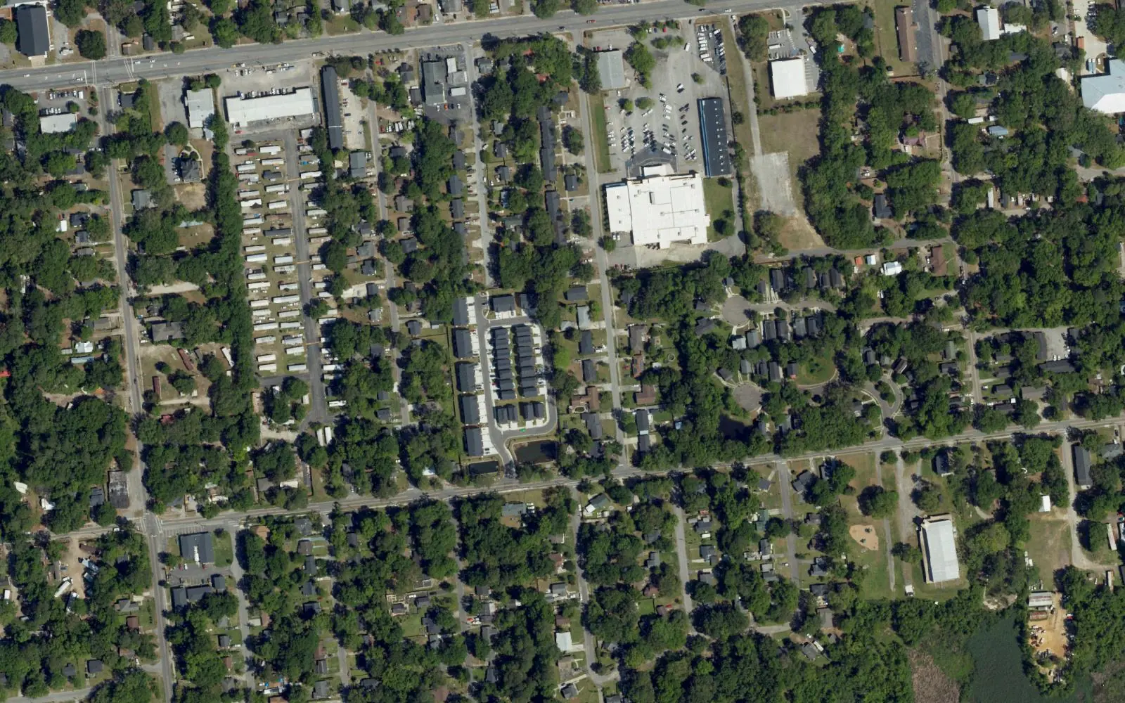
Charleston Farms lies along Remount Road next to Hanahan, in ZIP code 29406, zoned for North Charleston Elementary and North Charleston High.
Last checked Oct. 12, 2026. Sources: the City of North Charleston’s PRIME North Charleston comprehensive plan, neighborhood presidents list and parks list, Charleston County School District’s school lookup tool, the South Carolina school report cards, the U.S. Census Bureau, CARTA, OpenStreetMap and Zillow Research.
Charleston Farms is a neighborhood on North Charleston’s east side, along Remount Road. The city’s comprehensive plan (PDF) describes Remount Road, from Virginia Avenue to I-26, as an east-west corridor “that abuts Hanahan.” A 1995 survey for the city recorded 98 historic properties in Charleston Farms, according to the plan’s cultural and historic resources chapter (PDF).
What this means for you
- Zoned high school: North Charleston High, rated Below Average on the 2025 state report card, for 98% of the points we checked. Check an address with the district’s school lookup tool.
- Home value: $295,123 in ZIP code 29406 in August 2026, according to the Zillow Home Value Index.
- Nearest interstate exit: I-26 Exit 211, Aviation Avenue and Remount Road, about 1.8 miles by road.
Part of our North Charleston neighborhoods guide.
Where it is
OpenStreetMap places Charleston Farms north of Park Circle around Sumner Avenue, with Remount Road along its north side. The city publishes no boundary, so we used a circle of 0.4 mile around OpenStreetMap’s point. Of the 69 points we checked, 90% were inside North Charleston’s city limits on the Census Bureau’s current boundary. Inside the city, 95% were in ZIP code 29406 and the rest in 29405, all in Charleston County.
The city’s neighborhood presidents list includes a Charleston Farms neighborhood association, which meets at the Charleston Farms Community Center. Before you buy or rent near the Hanahan line, check the parcel on Charleston County’s GIS Parcel Viewer.
Schools
We checked the 62 points inside the city against Charleston County School District’s attendance boundaries in its school lookup tool (elementary zones for 2026-27).
| Level | School | Share of points | 2025 state rating |
|---|---|---|---|
| Elementary | North Charleston Elementary, 4921 Durant Ave. | 84% | Good |
| Elementary | Matilda F. Dunston Elementary, 1825 Remount Road | 15% | Below Average |
| Middle | Morningside Middle | 98% | Below Average |
| High | North Charleston High, 1087 E. Montague Ave. | 98% | Below Average |
North Charleston High’s 2025 graduation rate was 79.1%. Ratings are the overall ratings on the state’s 2025 report cards. More in our schools guide.
Home values
The Zillow Home Value Index for ZIP code 29406 was $295,123 in August 2026, down 1.3% from $298,892 in August 2025. Zillow’s figure for North Charleston as a whole was $310,134. The index is a modeled typical value for the middle third of homes, not a sale price, and ZIP code 29406 covers a much larger part of the city. More in our home prices guide.
Parks and community centers
From the city’s parks and facilities list:
- Charleston Farms Community Center, 1633 Sumner Ave.: a playground, a picnic shelter, the Charleston Farms Community Garden and the Keep North Charleston Beautiful office.
- Ellis Park, 1325 Sumner Ave.: a playground.
- Ingevity-Westrock Park, 1240 Remount Road: ball fields, playgrounds and a picnic shelter.
More in our parks and trails guide.
Getting around
- Interstates: I-26 Exit 211, Aviation Avenue and Remount Road, about 1.8 miles; I-526 Exit 18, Rivers Avenue, about 2.2 miles; I-526 Exit 20, Virginia Avenue, about 2.2 miles. Exit numbers are as mapped on OpenStreetMap.
- City Hall, 2500 City Hall Lane: about 3.5 miles.
- Charleston International Airport: about 4.9 miles.
- Bus: CARTA Route 13, Remount Road, stops along Remount Road, according to CARTA’s schedule data.
Distances are measured on the OpenStreetMap road network from the middle of the area; they are distances, not drive times. More in our getting around guide.
Groceries and everyday stores
From OpenStreetMap, in a straight line from the middle of the area:
- Supermarkets: La Esmerelda Grocery Store, about 0.3 mile; Food Lion, 1213 Remount Road, and IGA, 1750 Remount Road, each about 0.7 mile; Piggly Wiggly, 1270 Yeamans Hall Road, about 0.8 mile.
- Pharmacy: Walgreens, about 0.8 mile.
- Shopping centers: Doscher’s Shopping Center and Gas Lite Square, each about 1.1 miles.
Homeowners associations
We found no homeowners association for Charleston Farms in the city’s neighborhood presidents list, which names the neighborhood association.
Frequently asked questions
What schools serve Charleston Farms?
Of the points we checked, 84% were zoned for North Charleston Elementary and 15% for Dunston Elementary, with Morningside Middle and North Charleston High for nearly all, in Charleston County School District’s attendance boundaries.
What is the typical home value in Charleston Farms?
Zillow does not publish a figure for Charleston Farms. The Zillow Home Value Index for ZIP code 29406 was $295,123 in August 2026, down 1.3% from a year earlier.
Where are the grocery stores near Charleston Farms?
OpenStreetMap lists Food Lion at 1213 Remount Road and IGA at 1750 Remount Road, each well under a mile from the middle of the area, and Piggly Wiggly at 1270 Yeamans Hall Road.
Is Charleston Farms in North Charleston or Hanahan?
Charleston Farms is in North Charleston. Of the points we checked, 90% were inside the city limits on the Census Bureau’s current boundary; the area borders Hanahan along Remount Road, so check a parcel before you buy or rent.
Have your say