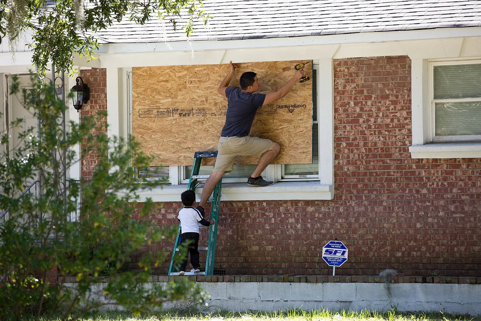
North Charleston is in Charleston County hurricane evacuation Zone C. Evacuate by Rivers Avenue (U.S. 52) or I-26. County Emergency Management: 843-746-3800.
Last checked Oct. 12, 2026. Facts on this page come from Charleston County Emergency Management, the state’s hurricane guide at hurricane.sc and the City of North Charleston’s emergency preparedness page. Hurricane season runs June 1 to Nov. 30.
North Charleston sits on the Cooper River, inland from the beaches but inside the area Charleston County can order to evacuate. Evacuation orders come from the governor or the county, by zone. Know your zone and your route before a storm forms.
Who to call
- Charleston County Emergency Management: 843-746-3800, 8 a.m. to 5 p.m. weekdays
- Emergency alerts: sign up for CHS Alerts, the county’s alert system
- Forecasts and warnings: the National Weather Service in Charleston
- Traffic and evacuation routes: dial 511 or 511sc.org
- Life-threatening emergency: 911
Know your zone
Charleston County’s evacuation zone map (PDF) has three zones, redrawn from National Hurricane Center storm surge data:
| Zone | Areas, in the county’s words |
|---|---|
| A | Edisto Island; the immediate coast including Seabrook, Kiawah, Folly Beach, Sullivan’s Island, Isle of Palms and Dewees; east of U.S. 17 to Buck Hall |
| B | Mount Pleasant, James Island and Johns Island; north of Mount Pleasant between Zone A and U.S. 17; the southern Charleston peninsula to Shipyard Creek |
| C | North of Zone B along the I-26 corridor to the county line, which takes in North Charleston; between U.S. 17 and the county line; West Ashley and the areas behind the islands |
An order may cover one zone, two or all three. Look up your exact address on the state’s Know Your Zone map. Homes in the Dorchester County part of the city follow Dorchester County Emergency Management, and the same state map covers them.
Your evacuation route
The state’s evacuation plan for North Charleston:
- U.S. 52 (Rivers Avenue) to U.S. 78 and U.S. 178 to Orangeburg, then I-20; or stay on U.S. 52 to U.S. 176, or continue north on U.S. 52.
- At Goose Creek, the right lanes of U.S. 52 continue to Moncks Corner, where drivers are sent onto S.C. 6 toward Columbia. The left lanes go onto U.S. 176 to Columbia.
- Drivers on S.C. 642 (Dorchester Road) head west toward Summerville and take Old Orangeburg Road (S-22) to U.S. 78 west.
- Under certain conditions, lanes of I-26 are reversed to carry traffic away from the coast; access to the reversed lanes begins at the Nexton crossover near Exit 197. Follow law enforcement, traffic signs and 511.
The county advises being ready to drive 20 to 50 miles inland and keeping your gas tank full once a hurricane watch is issued.
Watches and warnings
- Hurricane watch: hurricane conditions are possible within 48 hours. Review your plan, check your kit, fill the car, refill prescriptions and bring in outdoor furniture.
- Hurricane warning: a hurricane is expected within 36 hours. Finish preparing, and leave as soon as possible if an evacuation is ordered.
Those are the county’s definitions, from its hurricane information page.
Shelters
Shelters open only when a storm threatens. Charleston County lists them on its emergency shelters page, which on Oct. 12 read: “No shelters available at this time.” Bring blankets, sleeping bags and your own supplies to a shelter. Plan for pets in advance; the county’s guide points to pet-friendly shelters when they open.
Sandbags
The city’s Public Works Department says it does not keep a large supply of sandbags and can provide them only to people who pick them up early in an event. Sand and sandbags can be bought from local vendors. Public Works keeps collecting garbage and trash as long as it can before a storm, and after it clears main roads first, then side streets, before picking up storm debris.
Your kit
The county’s list for a hurricane watch:
- flashlight, a battery radio and extra batteries
- first aid kit and essential medicines
- food that keeps, water, and a manual can opener
- cash and credit cards
- sturdy shoes
The county also suggests storing drinking water in clean bathtubs, jugs and bottles, and turning the refrigerator and freezer to their coldest settings.
Flood insurance
A standard homeowners policy does not cover flooding, and there is normally a 30-day waiting period before a new National Flood Insurance Program policy takes effect, the county says. Buy it before the season, not when a storm is in the forecast. Your flood zone comes from the city; see our building permits and zoning guide for the city’s floodplain program.
Sales tax holiday
South Carolina’s 2026 sales tax holiday was the back-to-school holiday, Aug. 7-9, covering items such as clothing, school supplies and computers. No separate sales tax holiday for hurricane supplies was announced for 2026.
The city’s guides
The city publishes a North Charleston Hurricane Guide (PDF) and a Spanish-language guide (PDF). The county’s hurricane guide (PDF) covers plans, kits and home protection.
What this means for you
- You are in Zone C: if Zone C is ordered out, go.
- Learn the Rivers Avenue and U.S. 52 route now, not in traffic.
- Buy flood insurance a month before you need it.
Related guides: power outages, road construction and closures and who to call at City Hall.
Frequently asked questions
What hurricane evacuation zone is North Charleston in?
The Charleston County part of North Charleston is in Zone C, which the county describes as the areas north of Zone B along the I-26 corridor to the county line. Check your exact address on the state’s Know Your Zone map at hurricane.sc.
What is the hurricane evacuation route from North Charleston?
The state’s plan sends North Charleston evacuees up U.S. 52 (Rivers Avenue) to U.S. 78 and U.S. 178 toward Orangeburg, or on along U.S. 52. Drivers on S.C. 642 (Dorchester Road) head toward Summerville and take Old Orangeburg Road to U.S. 78 west.
Where are hurricane shelters in Charleston County?
Shelters open only when a storm threatens. Charleston County Emergency Management lists open shelters on its shelters page; as of Oct. 12, none were open.
Can I get sandbags in North Charleston?
The city’s Public Works Department says it has no large supply of sandbags and can provide them only to people who pick them up early in an event. Sand and sandbags are also sold by local vendors.
When does hurricane season end?
The Atlantic hurricane season runs June 1 to Nov. 30.
Have your say